Project Portfolio Highlights
This project showcase demonstrates Aphelion World’s capability to deliver geospatial intelligence products from image capture through to decision-ready analytics.
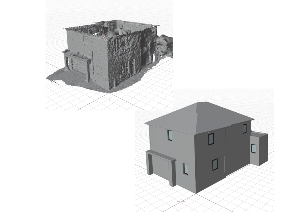
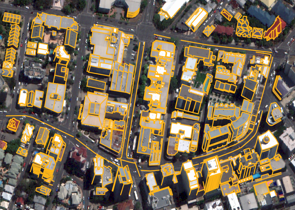
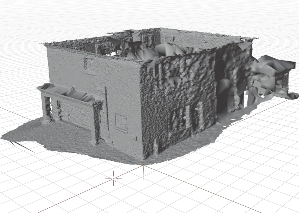
Our recent work spans change detection, 3D modelling, and automated image interpretation for urban, infrastructure, and environmental applications.
"Aphelion’s integrated workflow helped us move from raw imagery to reliable operational insights much faster than traditional processes."
Aphelion World
Geospatial Intelligence Team
We continue to expand this portfolio with practical, scalable solutions that combine photogrammetry, remote sensing, and AI-driven automation.
Contact us to discuss how similar workflows can be tailored to your organisation’s requirements.
Project information
- Category Earth Observation
- Client Multiple Industry Clients
- Project date Ongoing
- Project URL aphelionworld.co.za
- Request Similar Project